Introduction
Trading routes connect specific sites of economic importance and exists as long as mankind. Since ancient times civilizations traded goods over land, rivers and seas. With the industrial and technical revolutions of the last two centuries the physical appearances of trading routes drastically expanded. Wooden ships and horse wagons made place for container ships, railways, cargo-flights, data and energy cables, pipelines and satellites. What stayed the same is that sites and people are connected and create structures to make the connections work, e.g., roads, services, environments, buildings.
Some structures are pure functional, like a timetable or stabling area for cargo-plains, others have a more social function like the waiting area and restaurant for the crew. At first glance we think of energy, (raw) materials and goods when we talk about trade, but also data, stocks, knowledge, services and people are traded (e.g., booking-sites, Wall-street, research results and employment agencies).
The appearance of trading routes (physically and socially) and its structures in real life between became is one of my interests. Since 2018 I am researching historical, present day and future trading routes what results in an ongoing series of projects, writings, pictures, video’s and partnerships.
Following Trading Routes
Within one month time artist James Enos (USA) and myself traveled along three different old trading routes in Germany, the Netherlands and Japan.
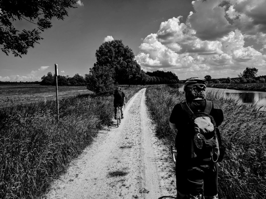
Alte Salzstrasse, Lüneburg to Lübeck (Germany)
Together with artist Michael Kress from hamburg we followed the old salt-street that starts near the old salt-mines in the Hanseatic city of Lüneburg. On bikes we traveled in two days time to Hanseatic city of Lübeck and stayed for the night in Lauenburg at the Elbe river.
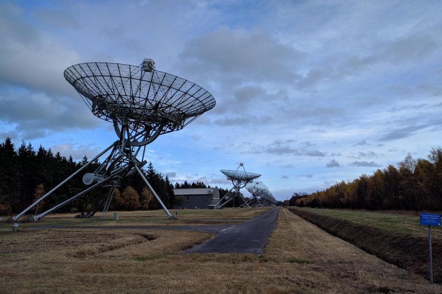
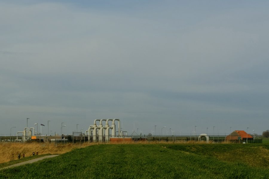
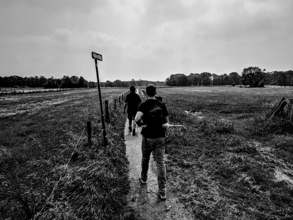
Hondsrugroute, Groningen to Noordlaren (the Netherlands)
Accompanied by Fred Stammeshaus, Enos and me walked the first part of the old route that follows the Hondsrug from the city of Groningen to the south. The Hondsrug is a glacial formed ridge from the ice-ages. For thousands of years the ridge was the only save passage trough swamps and wilderness. Even before the era the ridge was used by travelers and traders. In the middle ages it became a important trading connection to the Hanseatic city of Groningen.
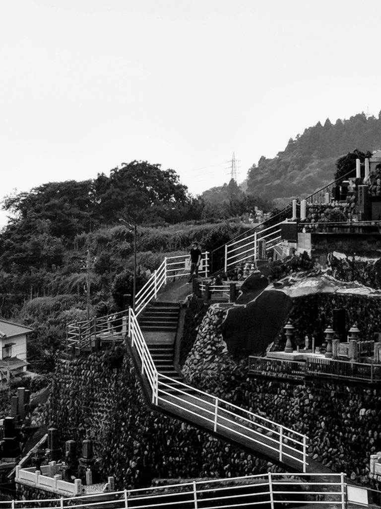
Tokaido Road, Fujikawa, (Japan)
The Tokaido road was the most important of the five routes during the Edo-period (1603 – 1868) in Japan, connecting Kyoto to Edo (Tokyo). Along the route existed fifty-three checkpoints that formed the official resting and trading posts. Enos and myself traveled by train on the Tokaido Main Line from Tokyo to Fujikawa in search of the location of a former illegal checkpoint from the Edo-period. From the station we walked what is left of the old route, climbed hills and found out how present day reality connects to historical grounds.
Project
Beside a series of photo’s and video’s, it inspired my to write a story for a book that will be published in 2021 by art-space HyCP from Hamburg, Germany. Videos and drawings of Enos were presented on the exhibition ‘Step out of line’ (2018) in the Art Space of Frise, Hamburg, Germany.